
Page 498 - UAE National Geospatial Feature Catalogue
P. 498
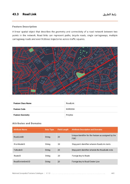
43.3      Road Link                                                                       قيرطلا طبار


            Feature Description

            A linear spatial object that describes the geometry and connectivity  of a road network between two
            points  in  the  network.  Road  links  can  represent  paths,  bicycle  roads,  single  carriageways,  multiple

            carriageway roads and even fictitious trajectories across traffic squares.


             Feature Class Name                               RoadLink


             Feature Code                                     NVR0004

             Feature Geometry                                 Polyline


            Attributes and Domains


             Attribute Name               Data Type   Field Length   Attribute Description and Domains

                                                                   Unique Identifier for the feature as assigned by the
              RoadLinkID                  String      20
                                                                   FGIC

              FromNodeID                  String      20           Stop point identifier wherein RoadLink starts

              ToNodeID                    String      20           Stop point identifier wherein the RoadLink ends

              RouteID                     String      20           Foreign key to Route


              RoadCenterlineUID           String      20           Foreign key to Road Center Line


            National Geospatial Features Catalogue   |   V 1.0   . . . . . . . . .. . . . . . . . . . . . . . . . . . . . . . . . . . . . . . . . . . . . . . . . . . . . . . . . . . ..               465