
Page 493 - UAE National Geospatial Feature Catalogue
P. 493
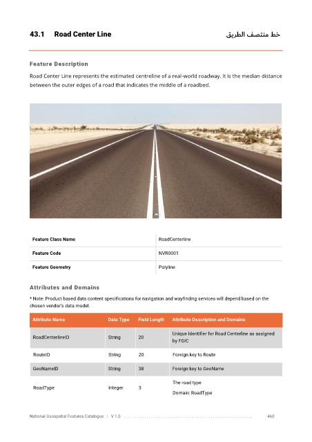
43.1      Road Center Line                                                        قيرطلا فصتنم طخ


            Feature Description

            Road Center Line represents the estimated centreline of a real-world roadway. It is the median distance
            between the outer edges of a road that indicates the middle of a roadbed.


             Feature Class Name                               RoadCenterline


             Feature Code                                     NVR0001

             Feature Geometry                                 Polyline


            Attributes and Domains
            * Note: Product based data content specifications for navigation and wayfinding services will depend based on the
            chosen vendor’s data model.


             Attribute Name               Data Type   Field Length   Attribute Description and Domains

                                                                   Unique Identifier for Road Centerline as assigned
              RoadCenterlineID            String      20
                                                                   by FGIC

              RouteID                     String      20           Foreign key to Route

              GeoNameID                   String      38           Foreign key to GeoName

                                                                   The road type
              RoadType                    Integer     3
                                                                   Domain: RoadType


            National Geospatial Features Catalogue   |   V 1.0   . . . . . . . . .. . . . . . . . . . . . . . . . . . . . . . . . . . . . . . . . . . . . . . . . . . . . . . . . . . ..               460