
Page 489 - UAE National Geospatial Feature Catalogue
P. 489
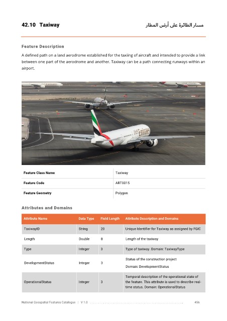
42.10  Taxiway                                                        راطملا ضر أ    ىلع ةرئاطلا   راسم


            Feature Description

            A defined path on a land aerodrome established for the taxiing of aircraft and intended to provide a link
            between one part of the aerodrome and another. Taxiway can be a path connecting runways within an

            airport.


             Feature Class Name                               Taxiway

             Feature Code                                     ART0015


             Feature Geometry                                 Polygon


            Attributes and Domains


             Attribute Name               Data Type   Field Length   Attribute Description and Domains

              TaxiwayID                   String      20           Unique Identifier for Taxiway as assigned by FGIC


              Length                      Double      8            Length of the taxiway

              Type                        Integer     3            Type of taxiway. Domain: TaxiwayType

                                                                   Status of the construction project
              DevelopmentStatus           Integer     3
                                                                   Domain: DevelopmentStatus

                                                                   Temporal description of the operational state of
              OperationalStatus           Integer     3            the feature. This attribute is used to describe real-
                                                                   time status. Domain: OperationalStatus


            National Geospatial Features Catalogue   |   V 1.0   . . . . . . . . .. . . . . . . . . . . . . . . . . . . . . . . . . . . . . . . . . . . . . . . . . . . . . . . . . . ..               456