
Page 544 - UAE National Geospatial Feature Catalogue
P. 544
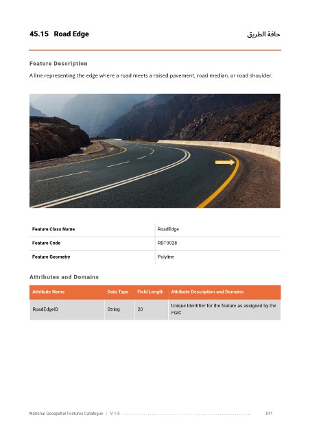
45.15  Road Edge                                                                         قيرطلا ةفاح


            Feature Description

            A line representing the edge where a road meets a raised pavement, road median, or road shoulder.


             Feature Class Name                               RoadEdge


             Feature Code                                     RDT0028

             Feature Geometry                                 Polyline


            Attributes and Domains

             Attribute Name               Data Type   Field Length   Attribute Description and Domains


                                                                   Unique Identifier for the feature as assigned by the
              RoadEdgeID                  String      20
                                                                   FGIC


            National Geospatial Features Catalogue   |   V 1.0   . . . . . . . . .. . . . . . . . . . . . . . . . . . . . . . . . . . . . . . . . . . . . . . . . . . . . . . . . . . ..               511