Page 548 - UAE National Geospatial Feature Catalogue
P. 548

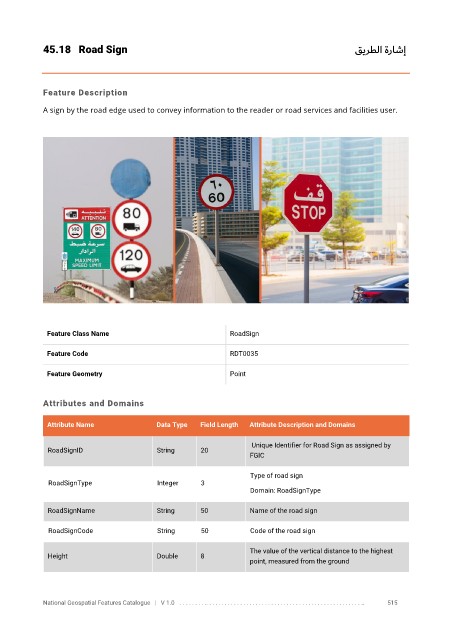
45.18  Road Sign                                                                       قيرطلا ةراشإ


            Feature Description

            A sign by the road edge used to convey information to the reader or road services and facilities user.


             Feature Class Name                               RoadSign


             Feature Code                                     RDT0035

             Feature Geometry                                 Point


            Attributes and Domains

             Attribute Name               Data Type   Field Length   Attribute Description and Domains

                                                                    Unique Identifier for Road Sign as assigned by
              RoadSignID                  String      20
                                                                   FGIC


                                                                   Type of road sign
              RoadSignType                Integer     3
                                                                   Domain: RoadSignType

              RoadSignName                String      50           Name of the road sign


              RoadSignCode                String      50           Code of the road sign

                                                                   The value of the vertical distance to the highest
              Height                      Double      8
                                                                   point, measured from the ground


            National Geospatial Features Catalogue   |   V 1.0   . . . . . . . . .. . . . . . . . . . . . . . . . . . . . . . . . . . . . . . . . . . . . . . . . . . . . . . . . . . ..               515
   543   544   545   546   547   548   549   550   551   552   553