
Page 550 - UAE National Geospatial Feature Catalogue
P. 550
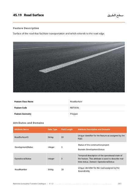
45.19  Road Surface                                                                 قيرطلا حطس


            Feature Description

            Surface of the road that facilitate transportation and which extends to the road edge.


             Feature Class Name                               RoadSurface


             Feature Code                                     RDT0036

             Feature Geometry                                 Polygon


            Attributes and Domains

             Attribute Name               Data Type   Field Length   Attribute Description and Domains

                                                                    Unique Identifier for the feature as assigned by the
              RoadSurfaceID               String      20
                                                                    FGIC


                                                                    Status of the construction project
              DevelopmentStatus           Integer     3
                                                                    Domain: DevelopmentStatus

                                                                    Temporal description of the operational state of
              OperationalStatus           Integer     3             the feature. This attribute is used to describe real-
                                                                    time status. Domain: OperationalStatus

                                                                    Unique identifier for the road assigned by the
              RoadNumber                  String      20
                                                                    SourceEntity


            National Geospatial Features Catalogue   |   V 1.0   . . . . . . . . .. . . . . . . . . . . . . . . . . . . . . . . . . . . . . . . . . . . . . . . . . . . . . . . . . . ..               517