
Page 545 - UAE National Geospatial Feature Catalogue
P. 545
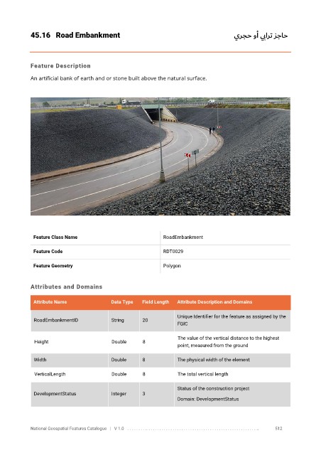
45.16  Road Embankment                                                                 يرجح وأ ي بارت     زجاح


            Feature Description

            An artificial bank of earth and or stone built above the natural surface.


             Feature Class Name                               RoadEmbankment


             Feature Code                                     RDT0029

             Feature Geometry                                 Polygon


            Attributes and Domains

             Attribute Name               Data Type   Field Length   Attribute Description and Domains

                                                                   Unique Identifier for the feature as assigned by the
              RoadEmbankmentID            String      20
                                                                   FGIC


                                                                   The value of the vertical distance to the highest
              Height                      Double      8
                                                                   point, measured from the ground
              Width                       Double      8            The physical width of the element


              VerticalLength              Double      8            The total vertical length

                                                                   Status of the construction project
              DevelopmentStatus           Integer     3
                                                                   Domain: DevelopmentStatus


            National Geospatial Features Catalogue   |   V 1.0   . . . . . . . . .. . . . . . . . . . . . . . . . . . . . . . . . . . . . . . . . . . . . . . . . . . . . . . . . . . ..               512