Page 574 - UAE National Geospatial Feature Catalogue
P. 574

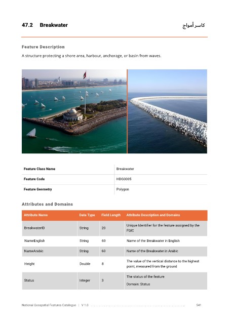
47.2      Breakwater                                                                   جاومأ رساك


            Feature Description

            A structure protecting a shore area, harbour, anchorage, or basin from waves.


             Feature Class Name                               Breakwater


             Feature Code                                     HDG0005

             Feature Geometry                                 Polygon


            Attributes and Domains

             Attribute Name               Data Type   Field Length   Attribute Description and Domains

                                                                   Unique Identifier for the feature assigned by the
              BreakwaterID                String      20
                                                                   FGIC


              NameEnglish                 String      60           Name of the Breakwater in English

              NameArabic                  String      60           Name of the Breakwater in Arabic

                                                                   The value of the vertical distance to the highest
              Height                      Double      8
                                                                   point, measured from the ground

                                                                   The status of the feature
              Status                      Integer     3
                                                                   Domain: Status


            National Geospatial Features Catalogue   |   V 1.0   . . . . . . . . .. . . . . . . . . . . . . . . . . . . . . . . . . . . . . . . . . . . . . . . . . . . . . . . . . . ..               541
   569   570   571   572   573   574   575   576   577   578   579