
Page 578 - UAE National Geospatial Feature Catalogue
P. 578
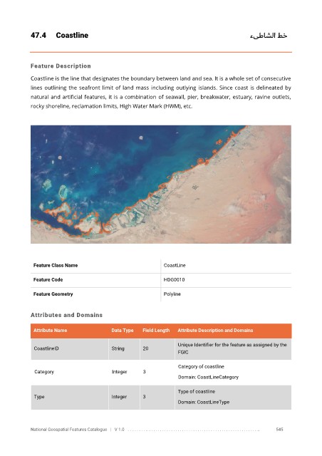
47.4      Coastline                                                                 ءىطاشلا طخ


            Feature Description

            Coastline is the line that designates the boundary between land and sea. It is a whole set of consecutive
            lines outlining the seafront limit of land mass including outlying islands. Since coast is delineated by

            natural and artificial features, it is a combination of seawall, pier, breakwater, estuary, ravine outlets,
            rocky shoreline, reclamation limits, High Water Mark (HWM), etc.


             Feature Class Name                               CoastLine

             Feature Code                                     HDG0010

             Feature Geometry                                 Polyline


            Attributes and Domains


             Attribute Name               Data Type   Field Length   Attribute Description and Domains

                                                                   Unique Identifier for the feature as assigned by the
              CoastlineID                 String      20
                                                                   FGIC

                                                                   Category of coastline
              Category                    Integer     3
                                                                   Domain: CoastLineCategory


                                                                   Type of coastline
              Type                        Integer     3
                                                                   Domain: CoastLineType


            National Geospatial Features Catalogue   |   V 1.0   . . . . . . . . .. . . . . . . . . . . . . . . . . . . . . . . . . . . . . . . . . . . . . . . . . . . . . . . . . . ..               545