Page 580 - UAE National Geospatial Feature Catalogue
P. 580

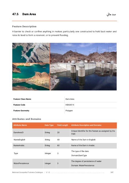
47.5      Dam Area                                                                       ي ئام دس


            Feature Description

            A barrier to check or confine anything in motion; particularly one constructed to hold back water and
            raise its level to form a reservoir, or to prevent flooding.


             Feature Class Name                               Dam Area


             Feature Code                                     HDG0014

             Feature Geometry                                 Polygon


            Attributes and Domains

             Attribute Name               Data Type   Field Length   Attribute Description and Domains


                                                                   Unique Identifier for the feature as assigned by the
              DamAreaID                   String      20
                                                                   FGIC

              NameEnglish                 String      60           Name of the Dam in English

              NameArabic                  String      60           Name of the Dam in Arabic

                                                                   The type of the dam.
              Type                        Integer     3
                                                                   Domain:DamType

                                                                   The degree of persistence of water
              WaterPersistence            Integer     3
                                                                   Domain: WaterPersistence


            National Geospatial Features Catalogue   |   V 1.0   . . . . . . . . .. . . . . . . . . . . . . . . . . . . . . . . . . . . . . . . . . . . . . . . . . . . . . . . . . . ..               547
   575   576   577   578   579   580   581   582   583   584   585