
Page 585 - UAE National Geospatial Feature Catalogue
P. 585
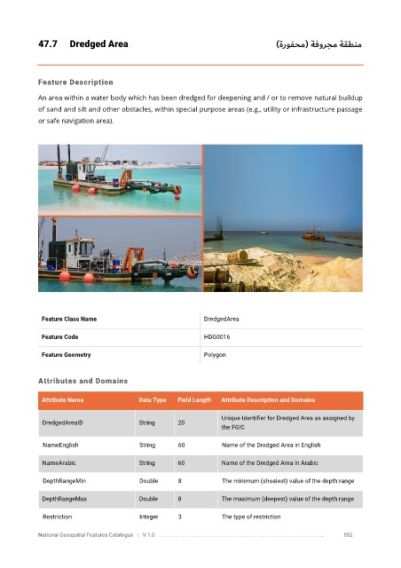
47.7      Dredged Area                                                    )ةروفحم( ةفورجم ةقطنم


            Feature Description

            An area within a water body which has been dredged for deepening and / or to remove natural buildup
            of sand and silt and other obstacles, within special purpose areas (e.g., utility or infrastructure passage

            or safe navigation area).


             Feature Class Name                               DredgedArea


             Feature Code                                     HDG0016

             Feature Geometry                                 Polygon


            Attributes and Domains


             Attribute Name               Data Type   Field Length   Attribute Description and Domains

                                                                   Unique Identifier for Dredged Area as assigned by
              DredgedAreaID               String      20
                                                                   the FGIC

              NameEnglish                 String      60           Name of the Dredged Area in English

              NameArabic                  String      60           Name of the Dredged Area in Arabic

              DepthRangeMin               Double      8            The minimum (shoalest) value of the depth range


              DepthRangeMax               Double      8            The maximum (deepest) value of the depth range

              Restriction                 Integer     3            The type of restriction

            National Geospatial Features Catalogue   |   V 1.0   . . . . . . . . .. . . . . . . . . . . . . . . . . . . . . . . . . . . . . . . . . . . . . . . . . . . . . . . . . . ..               552