
Page 587 - UAE National Geospatial Feature Catalogue
P. 587
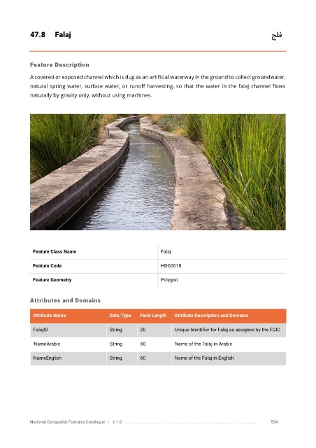
47.8      Falaj                                                                                    جلف


            Feature Description

            A covered or exposed channel which is dug as an artificial waterway in the ground to collect groundwater,
            natural spring water, surface water, or runoff harvesting, so that the water in the falaj channel flows

            naturally by gravity only, without using machines.


             Feature Class Name                               Falaj


             Feature Code                                     HDG0018

             Feature Geometry                                 Polygon


            Attributes and Domains


             Attribute Name               Data Type   Field Length   Attribute Description and Domains

              FalajID                     String      20           Unique Identifier for Falaj as assigned by the FGIC

              NameArabic                  String      60           Name of the Falaj in Arabic

              NameEnglish                 String      60           Name of the Falaj in English


            National Geospatial Features Catalogue   |   V 1.0   . . . . . . . . .. . . . . . . . . . . . . . . . . . . . . . . . . . . . . . . . . . . . . . . . . . . . . . . . . . ..               554