
Page 588 - UAE National Geospatial Feature Catalogue
P. 588
47.9 Foreshore رزجلاو دملا نيب ةقطنملا
Feature Description
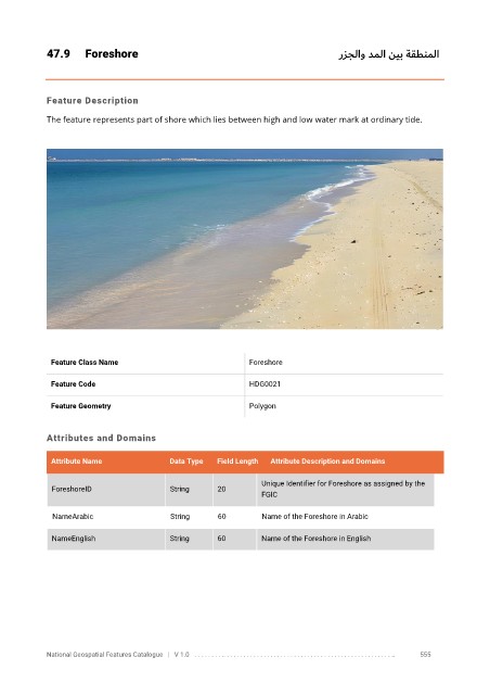
The feature represents part of shore which lies between high and low water mark at ordinary tide.
Feature Class Name Foreshore
Feature Code HDG0021
Feature Geometry Polygon
Attributes and Domains
Attribute Name Data Type Field Length Attribute Description and Domains
Unique Identifier for Foreshore as assigned by the
ForeshoreID String 20
FGIC
NameArabic String 60 Name of the Foreshore in Arabic
NameEnglish String 60 Name of the Foreshore in English
National Geospatial Features Catalogue | V 1.0 . . . . . . . . .. . . . . . . . . . . . . . . . . . . . . . . . . . . . . . . . . . . . . . . . . . . . . . . . . . .. 555