
Page 163 - UAE National Geospatial Feature Catalogue
P. 163
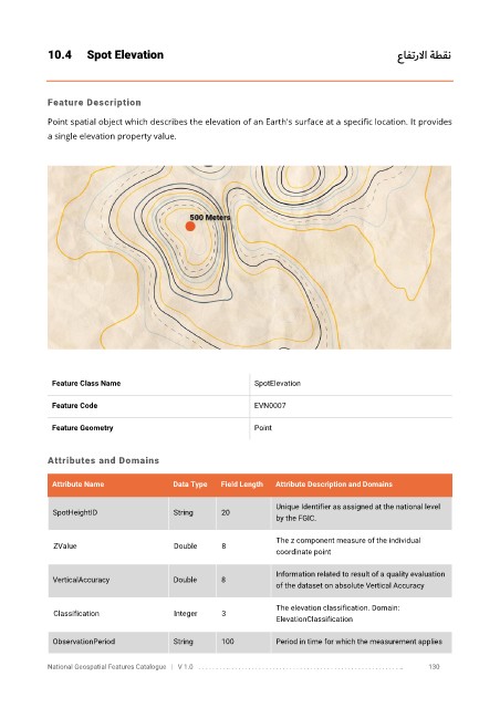
10.4      Spot Elevation                                                                            عافترلاا ة    طقن


            Feature Description

            Point spatial object which describes the elevation of an Earth's surface at a specific location. It provides
            a single elevation property value.


             Feature Class Name                               SpotElevation


             Feature Code                                     EVN0007

             Feature Geometry                                 Point


            Attributes and Domains

             Attribute Name               Data Type   Field Length   Attribute Description and Domains


                                                                   Unique Identifier as assigned at the national level
              SpotHeightID                String      20
                                                                   by the FGIC.

                                                                   The z component measure of the individual
              ZValue                      Double      8
                                                                   coordinate point

                                                                   Information related to result of a quality evaluation
              VerticalAccuracy            Double      8
                                                                   of the dataset on absolute Vertical Accuracy

                                                                   The elevation classification. Domain:
              Classification              Integer     3
                                                                   ElevationClassification

              ObservationPeriod           String      100          Period in time for which the measurement applies

            National Geospatial Features Catalogue   |   V 1.0   . . . . . . . . .. . . . . . . . . . . . . . . . . . . . . . . . . . . . . . . . . . . . . . . . . . . . . . . . . . ..               130