
Page 161 - UAE National Geospatial Feature Catalogue
P. 161
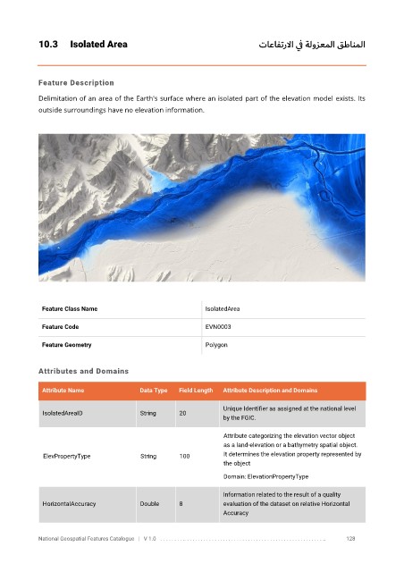
10.3      Isolated Area                                                 تاعافترلاا ي ف ةلوزعملا قطانملا


            Feature Description

            Delimitation of an area of the Earth's surface where an isolated part of the elevation model exists. Its
            outside surroundings have no elevation information.


             Feature Class Name                               IsolatedArea


             Feature Code                                     EVN0003

             Feature Geometry                                 Polygon


            Attributes and Domains

             Attribute Name               Data Type   Field Length   Attribute Description and Domains

                                                                   Unique Identifier as assigned at the national level
              IsolatedAreaID              String      20
                                                                   by the FGIC.


                                                                   Attribute categorizing the elevation vector object
                                                                   as a land-elevation or a bathymetry spatial object.
              ElevPropertyType            String      100          It determines the elevation property represented by
                                                                   the object
                                                                   Domain: ElevationPropertyType

                                                                   Information related to the result of a quality
              HorizontalAccuracy          Double      8            evaluation of the dataset on relative Horizontal
                                                                   Accuracy


            National Geospatial Features Catalogue   |   V 1.0   . . . . . . . . .. . . . . . . . . . . . . . . . . . . . . . . . . . . . . . . . . . . . . . . . . . . . . . . . . . ..               128